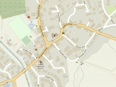


Interactive map from Cheshire East Council
CEC has recently published an extremely useful map which allows people to access visually displayed information across the borough.
Using this, it is now possible to bring up a map of Audlem which shows where all the TPOs (Tree Preservation Orders) are within the area. Using the same tool it is also possible to see the boundary of Audlem's Conservation Areas plus a host of other useful data like positions of listed buildings or bus stops within Cheshire East.
This new interactive map will soon make its way onto the Parish Council's section of the
AOL website, but in the meantime it can be found by clicking here
It's not too easy to find your way about in it, but do persevere. It is really worth the effort. To start, key in Audlem in the Search box. Then to have a look at TPOs for example, choose "Map Features" and "Map Data" from the drop-down list and then "Tree Preservation Orders" from which you can look at individual trees and/or groups of trees. Another interesting one to check is the Conservation Area boundaries, available from the "Historic Environment" list.
This article is from our news archive. As a result pictures or videos originally associated with it may have been removed and some of the content may no longer be accurate or relevant.
Get In Touch
AudlemOnline is powered by our active community.
Please send us your news and views using the button below:
Email: editor@audlem.org


