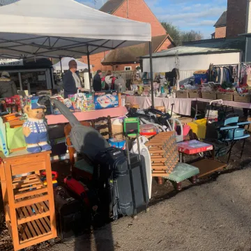
Audlem Charity Shop
Fri 24th Oct @ 6:06am
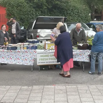
Last ADAPT market
Fri 24th Oct @ 6:06am

Smarties Challenge at School
Fri 24th Oct @ 6:06am
Garden waste scheme
Fri 24th Oct @ 6:06am
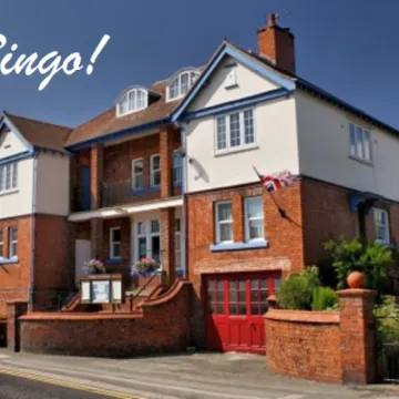
Bingo in the Town Hall
Thu 23rd Oct @ 12:12pm

Choose ADCA with the Co-op
Thu 23rd Oct @ 6:06am
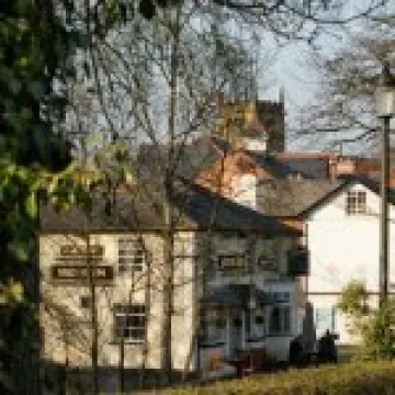
Events at the Bridge Inn
Thu 23rd Oct @ 6:06am
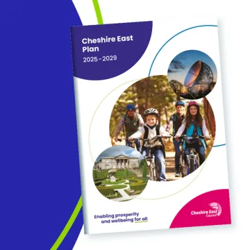
Well done, Cheshire East!
Thu 23rd Oct @ 6:06am

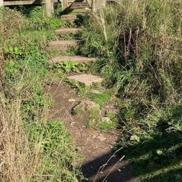
The new walking map covering the area from Audlem to Market Drayton has arrived!
It includes the Shropshire Union Canal all the way, plus the A529 road through Adderley, as well as Norton in Hales, Betton, Longslow, Brown's Bank, Cox Bank, Kinsey Heath and Highfields.
The map is available at Audlem Mill, along with the complimentary map covering the north of Audlem to Nantwich.
This article is from our news archive. As a result pictures or videos originally associated with it may have been removed and some of the content may no longer be accurate or relevant.

Get In Touch
AudlemOnline is powered by our active community.
Please send us your news and views using the button below:
Email: editor@audlem.org