Aston & District W.I .Meeting
Thu 7th Aug @ 6:06am

Open Mic at the Shroppie Fly
Thu 7th Aug @ 6:06am
Proposed Muller Development
Thu 7th Aug @ 6:06am
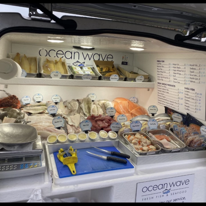
Oceanwave FRESH FISH today
Thu 7th Aug @ 6:06am
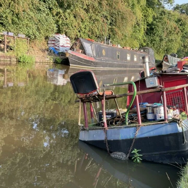
Canal Boat Lean
Wed 6th Aug @ 11:11am
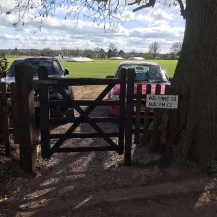
Cricket Report!
Wed 6th Aug @ 6:06am
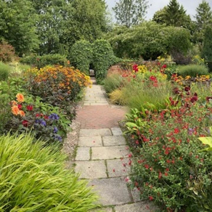
Wollerton Old Hall gardens
Wed 6th Aug @ 6:06am

Isla's Swim Camp
Wed 6th Aug @ 6:06am
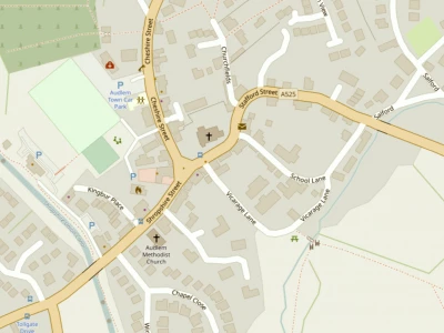
There is a new village map on display near the Shroppie Fly down on the canal towpath.
It's a bright, clear map of the village with the important features (i.e. the pubs) clearly marked.
However an observant reader has spotted that the road to Adderley is labelled A525 and surely it should be A529?
We (AudlemOnline) are not sure who the designer/artist behind the map may be – perhaps this small error could be corrected?
This article is from our news archive. As a result pictures or videos originally associated with it may have been removed and some of the content may no longer be accurate or relevant.
Get In Touch
AudlemOnline is powered by our active community.
Please send us your news and views using the button below:
Email: editor@audlem.org