


It seems as if the 'experts' supporting the Mill Lane development proposal may have to revise their views about flooding risks with Audlem Brook as more local residents send in photos of recent high water events.
It will be interesting to see how much notice is taken by the planners of the numerous and often lengthy supporting documents from consultants for both the Gladman application at Little Heath and the more recent Mill Lane proposal for 36 dwellings at Mill Lane, Salford.
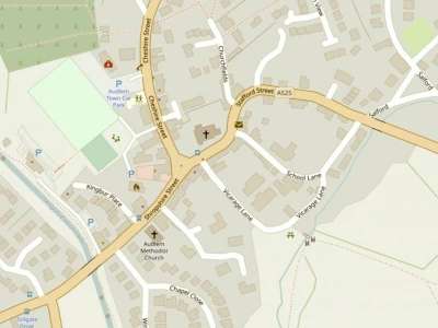
Consulting Engineers CampbellReith were asked to prepare a Strategic Flood Risk Assessment for Hockenhull Properties Ltd who want outline consent to build in fields off Mill Lane.
Their report, submitted to Cheshire East Council as part of the planning application, admits that parts of the site along Audlem Brook are identified as lying in Flood Zone 2 (medium probability) and Flood Zone 3 (high probability).
But the consultants say the Environment Agency is unable to provide detailed modelled flood levels for Audlem Brook which runs along the Eastern boundary of the site.
And it claims a flood risk assessment by the former Crewe and Nantwich Borough Council in 2008 stated that : "Audlem Brook, which flows across the southern side of the village is largely culverted, so the actual flood risk posed may be less than that implied by the indicative flood zones."
They add that their own detailed modelling of Audlem Brook confirms that the proposed development lies outside areas that could be affected by a once in 100-year flood event.
Their modelling found the development site "would not therefore be affected by fluvial flooding during a 1 in 100 year storm event" and added that "redevelopment for residential use would be considered sustainable in terms of Flood Risk."
They say tests also show that a drainage strategy can be prepared for the site to confirm that water run-off from the proposed development can be managed in such a way to ensure that it does not pose a risk to the site or its occupants or the wider catchment.
People who have lived near the brook for many years have very different views and their photos suggest the consultants report does not reflect reality and that they must not have spoken to local residents.
The photographs also show dramatically why there will be concern downstream about possible added flood risk from this development if it did result in additional run off of water into the brook.
This article is from our news archive. As a result pictures or videos originally associated with it may have been removed and some of the content may no longer be accurate or relevant.
Get In Touch
AudlemOnline is powered by our active community.
Please send us your news and views using the button below:
Email: editor@audlem.org