


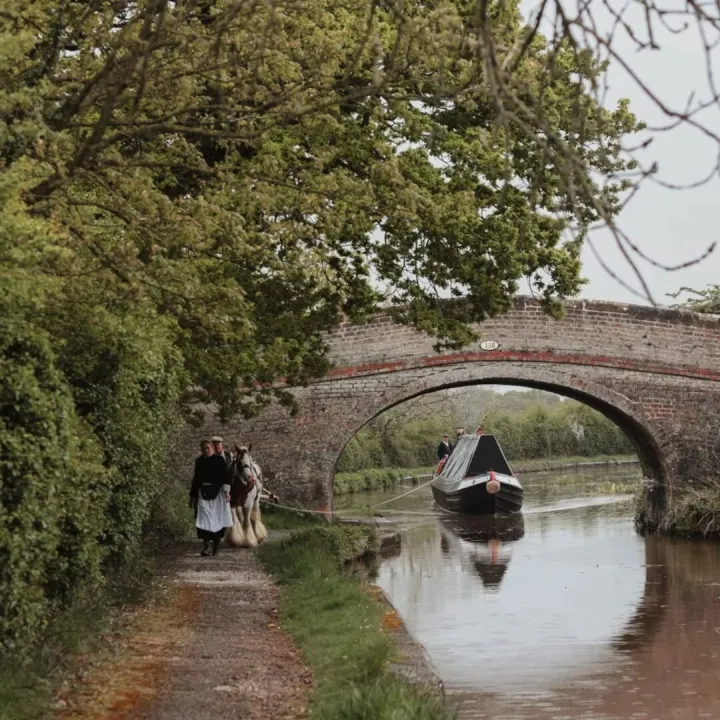
The bridge over the River Weaver at Brooks Mill erected several years ago by Cheshire East Rights of Way Team made possible an excellent circular walk of about 6 miles starting and ending at the Shroppie Fly.
The Market Drayton group of the Ramblers Association have used the route in the past as an evening pub walk but this – seen to the right – was one of their regular Tuesday morning short walks. Luckily the countryside was looking its best on this sunny morning.
When doing their usual recce they found several problems. Luckily a wooden bridge over a tributary of the Weaver, washed away by last year's floods, had been replaced but the warmth and wet this spring had encouraged the hedges to close over the stiles and some of these had deteriorated. They spent a considerable time clearing the way.
They also took their Footpaths Officer back over the route who contacted Cheshire East over the broken stiles. They were told that these would be attended to in the next 6 weeks.
It is fortunate that we have local groups such as the Ramblers and our own ARS to publicise and help care for our wonderful network of footpaths; fortunate too that Cheshire East is still able to deal with the bigger problems.
Brooks Mill and Lightwood Green
Peter Kay for described this circular walk a few years ago and it is listed in the Tourism section amongst a number of other local walks.
The erection of a splendid new bridge at Brooks Mill, down the lane from the chapel at Lightwood Green, makes possible a circular walk.
No one has been able to cross Barnett Brook for many years and we are indebted to the former Cheshire County Council for the work. The scenery is varied and you can finish at a pub.
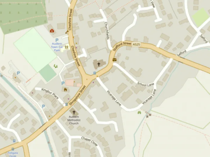
Leave the village on the Whitchurch Road. At the bottom of the hill turn left along Mill Lane towards Swanbach. As the road turns left, go straight on on the footpath which goes south to Heywood Lane.
On reaching the lane, turn north again on another footpath which soon turns westward towards Lightwood Green crossing the Ducklow and passing Newtown Farm. The path joins a small road, where you turn right before meeting the main road. Cross the A525 and walk past the Methodist Chapel down the lane to Brooks Mill.
Cross the bridges and head right towards Lower House Farm on Back Coole Lane. Walk right towards Audlem and then shortly go left on a footpath to Manor Farm on Coole Lane. Turn left towards Nantwich and leave Coole Lane on the right after passing Park House Farm.
Then head downhill towards the canal. Emerge on the bridge at lock 15, near the Old Stables and walk southwards up the towpath back into the village.
A few words of advice: you will need your map as not all the paths are clearly signed and the field after the old railway line can be boggy.
This article is from our news archive. As a result pictures or videos originally associated with it may have been removed and some of the content may no longer be accurate or relevant.

Get In Touch
AudlemOnline is powered by our active community.
Please send us your news and views using the button below:
Email: editor@audlem.org