Audlem Diary and Walking Maps


Just a reminder that we have brand new Audlem items at Audlem Mill.
The Audlem Diary 2017 makes a fantastic gift, whether to yourself, or friends and relatives locally or abroad – and there's still plenty of time before last posting dates.
With about 60 photographs of favourite places in Audlem, there is lots of space for daily notes. The diary also has phone numbers for local clubs, societies and shops, as well as bus timetables and significant dates from Audlem's history over the last 700 years.
The diary is A5 size, with 132 pages.
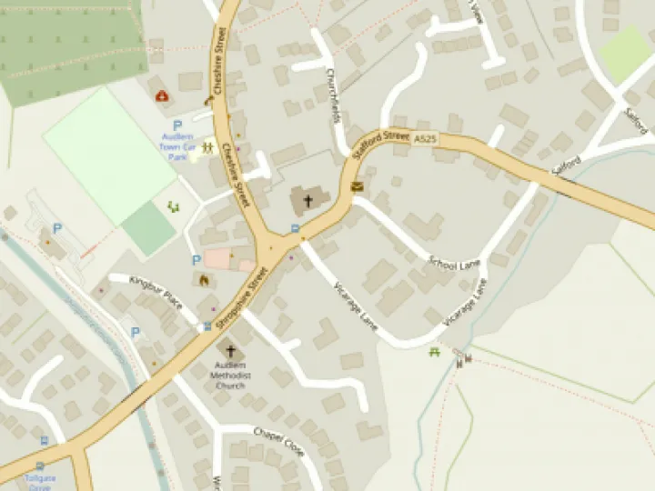
Now back in stock is the Audlem – Nantwich walking map – a 4" to the mile map based on Ordnance Survey mapping, which contains the Shropshire Union Canal, the A529 road, and all the surrounding footpaths.
We also have a similar map, covering Audlem to Market Drayton.
Both maps are water resistant, and fold to pocket size. A perfect stocking filler!
This article is from our news archive. As a result pictures or videos originally associated with it may have been removed and some of the content may no longer be accurate or relevant.


Get In Touch
AudlemOnline is powered by our active community.
Please send us your news and views using the button below:
Email: editor@audlem.org