ARS tackles Snowdon Horseshoe


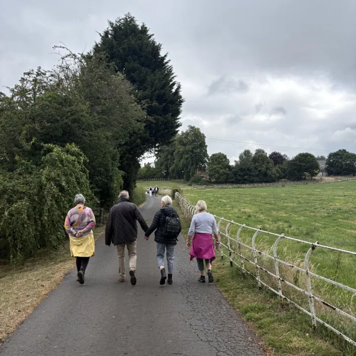
Next Saturday's ARS (Audlem Ramblers Society) expedition is to North Wales to tackle the famous Snowdon Horseshoe.
The Snowdon Horseshoe is perhaps the greatest ridge walk in Snowdonia and for many the highlight is a traverse of Crib Goch's arête. It is not a walk for those with little experience and if the cloud is down, good navigation skills are needed. If the weather is clear and calm then it should present no problems to an agile person who has experience of mountain walking – or so says the 'official' guide!
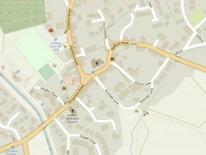
The route begins at Pen-y-pass at the top the Llanberis Pass. The car park fills early in good weather and at weekends so an early start is recommended – it's a meet up on Audlem car park at 6.30am.
The route initially follows the Pyg Track as it climbs steadily to Bwlch y Moch. You soon get a superb view of Crib Goch probably with people already clambering up its east ridge.
The slope becomes rockier and the path twists and turns with the occasional short sections of scrambling. Once this has been overcome the remainder of the climb is relatively easy and you soon find yourself perched on the rocks at the eastern end of the ridge. This is not the summit, which is located further along the ridge that you can see stretching ahead.
Ahead lies an interesting, but easier, traverse of Crib y Ddysgl. Of similar character to Crib Goch there is one section of scrambling that might cause problems if you don't discover the easy route. Otherwise it is straightforward with superb views all the way to the summit of Garnedd Ugain. Only 20 metres lower than Snowdon, this mountain deserves better acclaim as many people completely ignore it on their way to the top of Snowdon.
You descend from Garnedd Ugain to reach the railway. Follow this, and the crowds, to Snowdon's Summit and then leave the summit by the southern ridge following a clear path.
The views across to Crib Goch are excellent from here. The onward path across the three Y Lliwedd summits is fairly straightforward before descending from the final summit of Lliwedd Bach where the path reaches a relatively level section of ground before descending more steeply to the shores of Llyn Llydaw. The final section of the path is paved before it joins the Miner's Path. Turn right and join the crowds again for the easy walk back to the start.
The walk is fairly tough with about 7.5 miles length and 3800 ft of ascent and descent. If ARS members plan to go on the walk, please contact John Down or Steve Elliott. It would be good to know what transport is needed in advance.
This article is from our news archive. As a result pictures or videos originally associated with it may have been removed and some of the content may no longer be accurate or relevant.


Get In Touch
AudlemOnline is powered by our active community.
Please send us your news and views using the button below:
Email: editor@audlem.org