


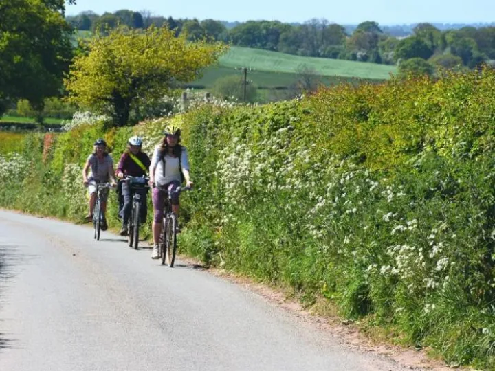
The ADAPT cycle maps "Cycling for All around Audlem" were launched in 2017 and have proved so popular that supplies of the map leaflets became exhausted last year despite two reprints. The map offers 30 different routes around the Audlem area avoiding main roads wherever possible. The routes range from 4 to 35 miles and offer ways to access local towns and destinations as well as leisure routes. Early in 2020, ADAPT updated both the leaflet and the on-line route content to be up to date as of February 2020. Updated map leaflets are available from:
- Lord Combermere
- Audlem Cyclesport
- Overwater Marina
- Williams
- Audlem Co-op
- Audlem Mill Shop
The specific route information has now been updated to match the leaflet and can be accessed here on Audlem Online. There have been over 25,000 visits to these route pages over the last three years.
Obviously, the information on refreshment facilities is affected by the current Covid 19 restrictions. Once arrangements are eased, we recommend users to check the status of these facilities before relying on them.
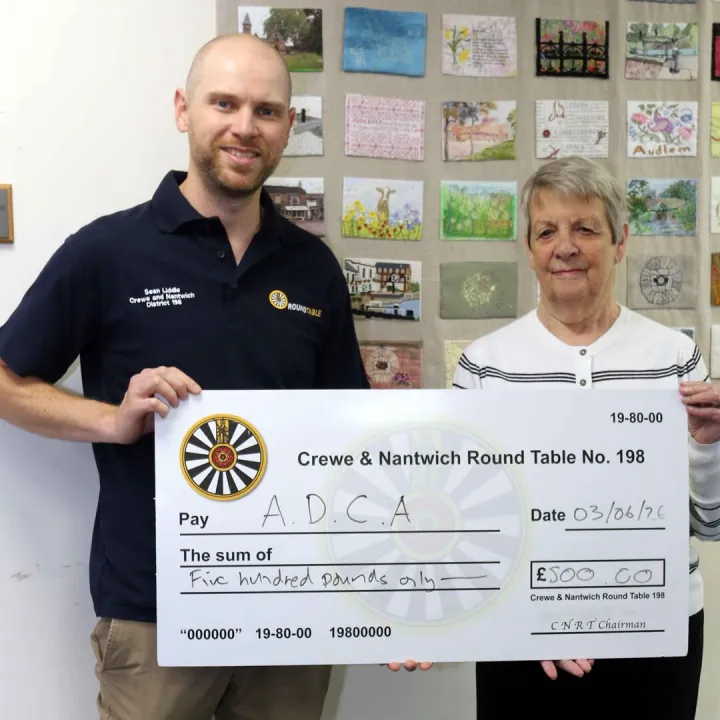
ADAPT would like to thank those who provided support for the production of the update and reprint, namely Canal and River Trust, Audlem Cyclesport, Overwater Marina and The Lord Combermere.


Get In Touch
AudlemOnline is powered by our active community.
Please send us your news and views using the button below:
Email: editor@audlem.org