How to find us
Audlem is located at the junction of the A525 and A529 roads in south Cheshire, just a mile north of the Shropshire border. The village is seven miles from Nantwich to the north; seven miles from Whitchurch to the west and a similar distance from Market Drayton to the south. It is five miles from Woore to the east.
The A525 road runs from Newcastle under Lyme and Woore from the east and Whitchurch from the west. The A529 runs from Nantwich in the north and from Market Drayton in the south. Audlem is approximately 10 miles west of the M6 – you can use Junctions 16 from the North; Jcts 15 and 14 from the South.
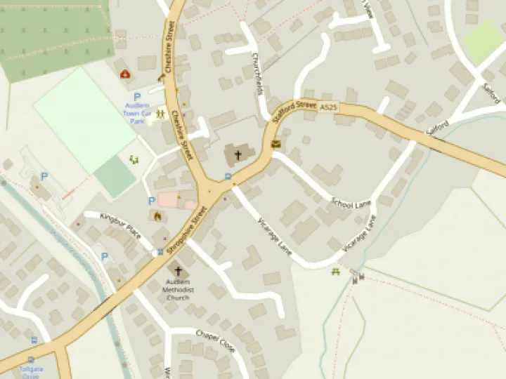
For those using Satnav systems, the post code for the centre of the village is CW3 0AG.
By Bus
There are several bus services that service Audlem – see the Organisations/Services/Buses page here for details.
By Water
The Shropshire Union canal runs through the village and some 11,000 narrow boats a year arrive in the village which is famous for its run of 15 locks. The River Weaver is not navigable to Audlem.
By Rail
Thanks to Dr Beeching, there is no longer a railway station or railway line in Audlem – 2013 will see the 50th anniversary of this travesty (and the 150th of the opening of the railway in 1863).
There are railway stations at Nantwich and Whitchurch on the Crewe to Shrewsbury line – both stations are 7 miles from Audlem. Crewe, on the main West Coast line, is 10 miles away.
By Air
As yet, the village does not have its own airport – except on 1st April (when Bryanair services operate from Coxbank International Airport). The nearest are Manchester (approximately 60 minutes by road); Liverpool (80 minutes); East Midlands (90 minutes) and Birmingham International (90 minutes).
Cycling and Walking
The Weaver Way is a long-distance footpath and cycle way now being developed as part of the Weaver Valley Regional Park. It extends across Cheshire from Audlem in the south to Frodsham in the north.
There are plans to improve the grass towpath of the Shropshire Union canal from Audlem to Nantwich in the future to make it suitable for cycling – some of this work was carried out in 2011 from near Lock 15 to Bridge 80 near the Overwater Marina.
The South Cheshire Way crosses the Shropshire Union canal approximately 2 miles north of Audlem and the village can be reached by turning south along the Weaver Way beside the canal.
By Horse
There's a good network of bridleways while horse riders are treated with consideration by local drivers who are used to both horses and horses & carriages in the area.
Get In Touch
AudlemOnline is powered by our active community.
Please send us your news and views using the button below:
Email: editor@audlem.org