


Local Walking Map
Just arrived at Audlem Mill is a specially commissioned Ordnance Survey map of the area between Audlem and Nantwich.
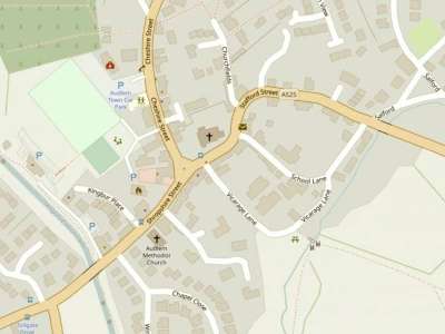
This large scale map (4 inches to the mile) includes the canal towpath from Audlem, through Hack Green, to Nantwich Aqueduct and Basin, the A529 between Audlem and Nantwich, nearly all of the Nantwich built-up area, and extends to Acton, Ravensmoor, Copthorne, Buerton, Hatherton' and Blakelow.
The large scale means that all footpaths are clearly marked, so the map is ideal for walkers. And it's water resistant!
This map is only available at Audlem Mill, and is priced at £4.95.
Peter and Chris Silvester
Audlem Mill
This article is from our news archive. As a result pictures or videos originally associated with it may have been removed and some of the content may no longer be accurate or relevant.
Get In Touch
AudlemOnline is powered by our active community.
Please send us your news and views using the button below:
Email: editor@audlem.org