

The walkers' map of Audlem to Nantwich that we announced on AudlemOnline a few days ago has sold incredibly well, so we have already ordered a new map.
This will go south from Audlem to Market Drayton, and include the Shropshire Union Canal, the A529 road and villages such as Adderley and Norton in Hales -- all at the large scale of 4" to the mile.
Like the first map, it is water resistant, and folds small enough to go in a coat pocket.
The Audlem to Market Drayton map should arrive within a few days, and will be announced on Audlem Online.
Meanwhile, the Audlem to Nantwich map is still available at Audlem Mill.
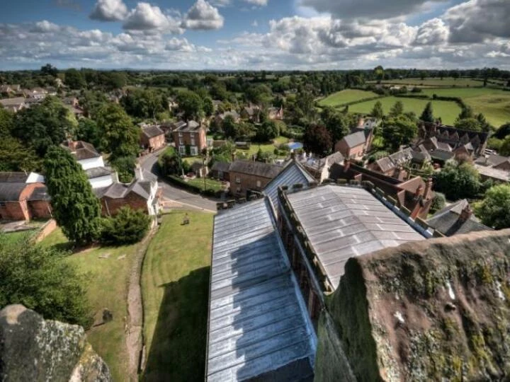
This article is from our news archive. As a result pictures or videos originally associated with it may have been removed and some of the content may no longer be accurate or relevant.
Get In Touch
AudlemOnline is powered by our active community.
Please send us your news and views using the button below:
Email: editor@audlem.org