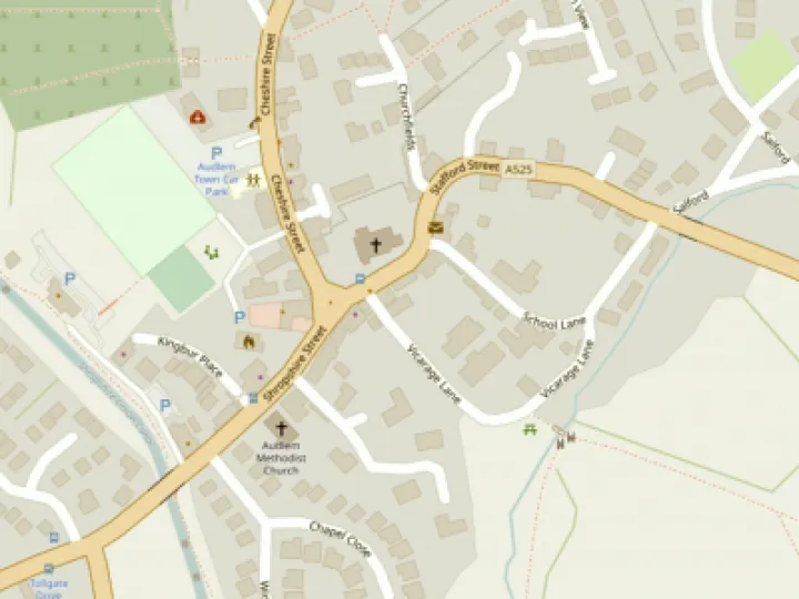
Update on the ADAPT Audlem Cycle Map


The ADAPT cycle map of the Audlem area launched in May has proved to be extremely popular both locally and throughout South Cheshire. Over 6000 map leaflets have been distributed by ADAPT's Transport Group both directly and via 80 outlets in the area covered by the map. Over 2000 of these were handed out during 10 days of events in Audlem and Nantwich, and most of the outlet supplies have now also been taken by members of the public. This autumn, ADAPT applied for additional funding from Cheshire East Council's Community Grants Scheme for another print run to resupply the outlets and provide more stocks for further event days in the spring. We have just heard that the application has been successful, and so we will now be able to proceed with the reprint. More map leaflets should be appearing around the area before Christmas.
Route Maps
The individual route maps available via ADAPT's area on AudlemOnline provide perhaps the clearest evidence of the success of the project, in that total visits to route pages has now reached 5,500, with over 2,500 visits to the cycle map 'home page'. These statistics (kindly made available by Audlem Online) are rising steadily showing that use is being made of the information and users are returning to explore multiple routes. Increases in the cyclists have been observed in several areas. By far the most popular route is the Audlem to Nantwich route with over 300 visits, which has led the ADAPT Transport team to begin exploring what can be done to improve the attractiveness of this route for cyclists.
ADAPT's regular cycle rides are becoming increasingly popular, and will in future take place on the second Sunday of each month, so participants can plan ahead. These rides are aimed at encouraging new and returning cyclists as well as those just looking for a pleasant cycle ride at a modest pace in good company. Full details can be found on the Ride Programme page (accessible by clicking here).
The ADAPT Transport Group hopes that users of the maps are enjoying the health benefits of regular cycling, and that the project has been good for Audlem and its businesses, which are important to sustaining a vibrant village.
The Group wishes to take this opportunity to thank:
- All the members of the community who voted for the project last January, without whom none of this would have happened
- The Cheshire East Council Participatory Budgeting Programme who provided the original funding
- Cheshire East Council's Community Grant Scheme, for funds towards the map reprint
- Audlem Online for hosting the route maps and for support and help along the way
- The local businesses and facilities who have hosted the map leaflets, and acted as 'outlets' for promoting the project
This article is from our news archive. As a result pictures or videos originally associated with it may have been removed and some of the content may no longer be accurate or relevant.


Get In Touch
AudlemOnline is powered by our active community.
Please send us your news and views using the button below:
Email: editor@audlem.org