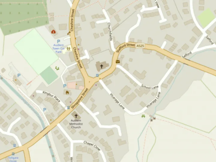
Ordnance Survey maps could steer HGVs to more suitable roads


Robin Wilson and Dave Martin have pointed out some news that might help with the issue of Heavy Goods Vehicles in Audlem.
Yesterday's Daily Telegraph carried an article about Ordnance Survey starting a project to remap "preferred routes" for sat-navs to keep HGVs away from unsuitable roads. This looks like a job for the local authority (who will possibly need some prodding from the Parish Council or anybody else who cares to contact C&NBC) who will then create the freight route map for their area. Surely, says Dave, the Audlem voice needs to be loudly heard in this process. The link to the article is www.telegraph.co.uk/news/main.jhtml?xml=/news/2007/12/17/nsatnav117.xml (The website link that was here no longer works)
This article is from our news archive. As a result pictures or videos originally associated with it may have been removed and some of the content may no longer be accurate or relevant.


Get In Touch
AudlemOnline is powered by our active community.
Please send us your news and views using the button below:
Email: editor@audlem.org