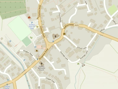


There has been great interest in ADAPT's cycle map of the Audlem area, and the ADAPT Transport Group are pleased to announce a couple of enhancements to the information available via the Cycle Map pages of Audlem Online:
GPX maps of the routes
From the route pages, you can now download a GPX file of each route for use with cycle GPS and mobile phone apps. GPX files should be used in conjunction with the pdf download packs for the routes, as these contain important safety information which should be read before setting out.
Easy print versions of maps
Where download packs contain a mixture of landscape and portrait pages, we have provided an 'easy-print' version with all pages arranged in landscape format, so that full size page prints can be obtained with a single print action.
The map appears to have been well received and the group members are continuing to publicise the map throughout the area, with particular focus on Nantwich during the next few weeks. To date there have been over 750 hits on the cycle map home page, with visits to individual route maps ranging from 15 to 90!
If you don't yet have a Cycle Map leaflet, they are available throughout the village (and beyond). You can click here to go to the Cycle Map home page from where detailed information on the 30 routes covered can be accessed.
This article is from our news archive. As a result pictures or videos originally associated with it may have been removed and some of the content may no longer be accurate or relevant.
Get In Touch
AudlemOnline is powered by our active community.
Please send us your news and views using the button below:
Email: editor@audlem.org


