


The Peak District became the first national park in the United Kingdom on 17 April 1951.
It is located at the southern end of the Pennines and much of the area is upland above 1,000 feet (300 m). Its high point is Kinder Scout at 2,087 ft (636 m). Despite its name, the landscape generally lacks sharp peaks, and is characterised mostly by rounded hills, plateaus, valleys, limestone gorges and gritstone escarpments (the "edges"). The area, mostly rural, is surrounded by conurbations and large urban areas including Manchester, Huddersfield, Sheffield, Derby and Stoke-on-Trent.
The national park has a formal boundary, but the wider Peak District is less well defined. The Dark Peak is largely uninhabited moorland and gritstone escarpments in the north of the Peak District and its eastern and western margins. It encloses the central and southern White Peak which is where most settlements, farmland and limestone gorges are located. Three of Natural England's National Character Areas (NCAs) include the landscape. They cover areas mostly inside the national park, with one including the northern and eastern parts of the Dark Peak and another including the White Peak. The western margins of the Dark Peak are in the South West Peak NCA, where farmland and pastured valleys are found as well as gritstone edges and moorland. Outside the park, some of the outer fringes and foothills are considered to be part of the Peak District, including the Churnet and lower Derwent Valleys.14 The region is mostly surrounded by lowlands with gritstone moorlands of the South Pennines to the north.
The park covers 555 square miles (1,440 km2), including most of the region in Derbyshire and extends into Staffordshire, Cheshire, Greater Manchester and South and West Yorkshire. The park's northern limits are on the A62 road between Huddersfield and Oldham, and its southernmost point is on the A52 road near Ashbourne. The park boundaries were drawn to exclude built-up and industrial areas; in particular Buxton and the quarries at the end of the Peak Dale corridor are surrounded on three sides by the park. Bakewell and many villages are in the national park as is much of the rural west of Sheffield.
As of 2010, it is the fifth largest national park in England and Wales. In the UK, designation as a national park means that planning and other functions are provided by a national park authority with additional planning restrictions that provide enhanced protection against inappropriate development. Land within this national park as in other UK parks is in a mix of public and private ownership.
The National Trust, a charity that conserves historic and natural landscapes, owns about 12% of the land in the national park. Its three estates (High Peak, White Peak and Longshaw) include ecologically or geologically significant areas at Bleaklow, Derwent Edge, Hope Woodlands, Kinder Scout, the Manifold valley, Mam Tor, Dovedale, Milldale and Winnats Pass. The park authority owns around 5%, and other major landowners include several water companies.
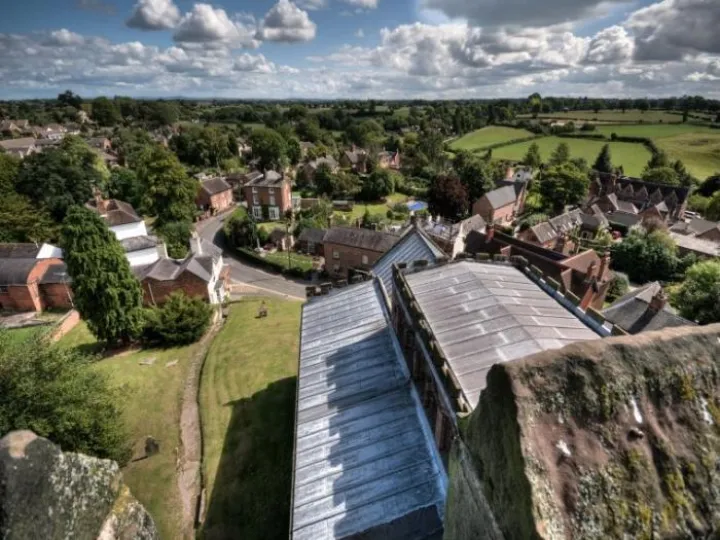
Tourism remains important for its towns and villages and their varied attractions, country houses and heritage sites. Outside the towns, walking on the extensive network of public footpaths, cycle trails, rock climbing and caving are popular pursuits. With its proximity to the cities of Manchester, Stoke-on-Trent, Derby and Sheffield, and access by road and rail, it attracts millions of visitors every year.
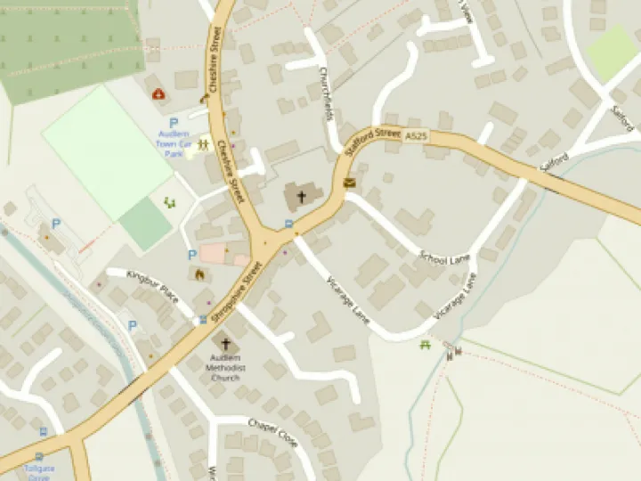
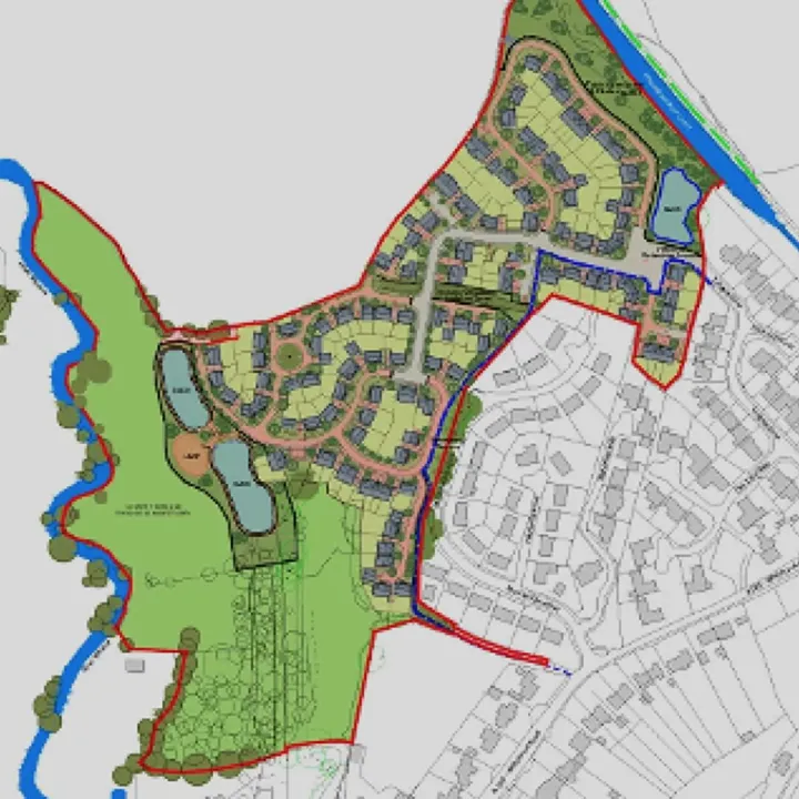
This article is from our news archive. As a result pictures or videos originally associated with it may have been removed and some of the content may no longer be accurate or relevant.


Get In Touch
AudlemOnline is powered by our active community.
Please send us your news and views using the button below:
Email: editor@audlem.org